Multispectral Photogrammetry
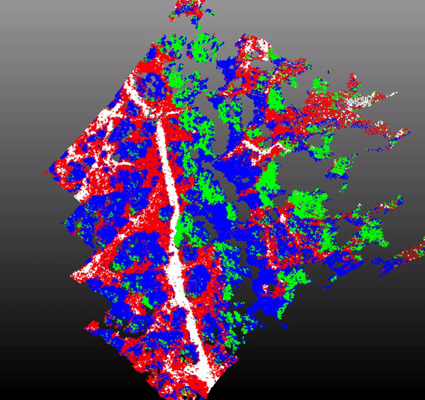
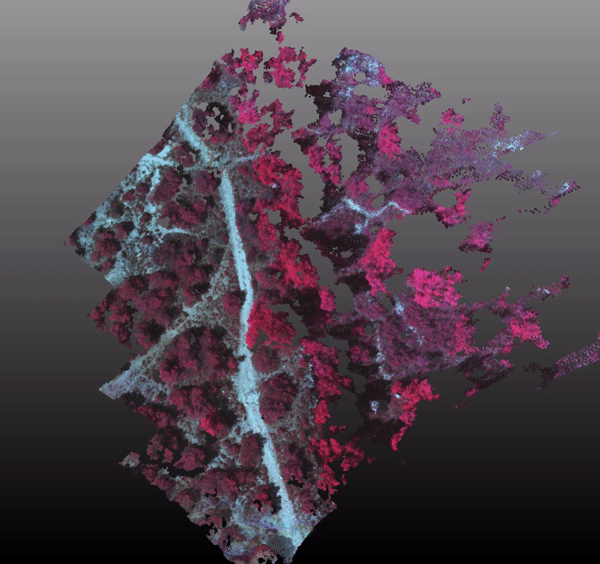
This project was used for remote sensing classification from a multispectral camera. The camera Parrot Sequoia was first calibrated and tested on sample areas. Then, it was fixed to a civil drone and we flew over high altitudes forest to estimate the evolution of vegetation species. Colorply was used to create a multispectral cloud of points, to improve our classification by adding extra features. The clusters were made from a random forest skeleton, using all radiometries (RED, REG, NIR, GRE) and the points 3D positions.
In this repository, you can run the classification on the provided data [here](test/data/result/RVB_GRE_RED_REG_NIR_NDVI.ply). For this short example (for fast processing), the classification results are described as follows :
The confusion matrix for this sample is :
| Terrain | Oak | Shrub | Grass | |
| Terrain | 410 | 0 | 0 | 16 |
| Oak | 0 | 260 | 10 | 0 |
| Shrub | 0 | 10 | 137 | 16 |
| Grass | 23 | 0 | 11 | 192 |
Global accuracy : 92.07%.